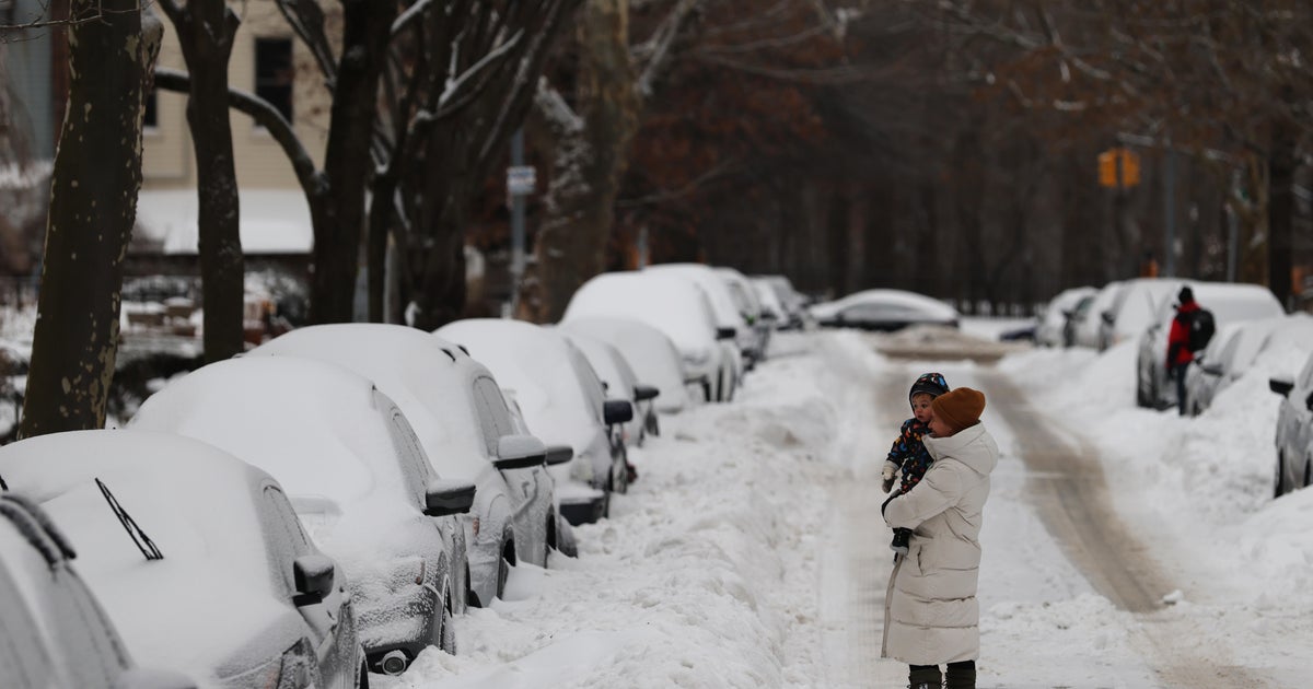
Blizzard warnings were issued Saturday for New York City, New Jersey and coastal communities along the East Coast as a late-winter storm set to arrive on Sunday threatened to make a mess of the start of a new week.
More than 14 million people are currently under blizzard warnings, including one in New York City — the first time in nine years a blizzard warning has been issued for the Big Apple.
The National Weather Service increased its assessment of the potential severity of a storm that was projected to be less ferocious only days earlier.
The weather service said 1 to 2 feet of snow was possible in many areas as it issued blizzard warnings for New York City, Long Island, southern Connecticut and coastal communities in New Jersey and Delaware. Snowfall totals upwards of 6-18 inches are possible across the Northeast. Lower snowfall amounts are expected in the Mid-Atlantic area.
Flooding was also possible in parts of New York and New Jersey, the weather service said.
The weather service said the storm could arrive quietly on Sunday with rainfall in some places before worsening, with the heaviest snowfall expected Sunday night. Snowfall rates up to 1-2 inches per hour are expected by Sunday night, with higher rates over 2 inches per hour possible.
The weather service warned that the storm, with steady winds of 25 to 35 mph, would “make travel dangerous, if not impossible. Scattered downed tree limbs and power outages are possible due to snow load and strong winds.” The National Weather Service predicted difficult travel conditions across the region.
The storm approached just as the icy remains of a snowstorm that struck the region weeks earlier were finally melting away. However, Punxsutawney Phil saw his shadow earlier in the month, meaning the groundhog thinks there will be six more weeks of winter.
contributed to this report.