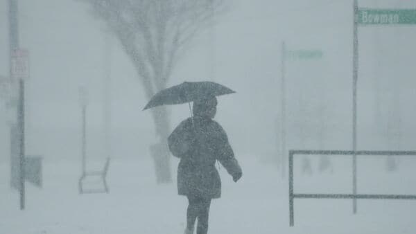
A powerful storm system moving into the western United States is bringing intense weather conditions, with the Sierra Nevada expected to receive up to two feet of additional snowfall through Sunday. The has issued a warning for parts of central California, cautioning that snow accumulations could reach up to 14 inches in some areas, accompanied by wind gusts of up to 45 mph.
The National Weather Service office in Hanford has issued a winter storm warning covering areas including Yosemite National Park, Kings Canyon National Park and Sequoia National Park. The warning remains in effect until 11 PM PDT Sunday.
“Additional snow accumulations up to 14 inches” are expected, with winds gusting as high as 45 mph, the NWS Hanford office said. Officials warned that “whiteout conditions are expected,” with visibility potentially dropping below a quarter mile, making travel “treacherous and potentially life-threatening.”
Rain, snow spread across the West
The NWS said precipitation will expand inland across the Great Basin and into the Pacific Northwest through Monday. Snow in higher elevations and rain in lower areas will gradually taper off from Monday night into Tuesday across the Pacific Northwest and the northern Rockies.
As the system moves toward the Desert Southwest and the Four Corners, scattered showers and high-elevation snowfall are expected to develop late Monday into Tuesday.
Severe storms across Central and Northern US
Across the central US, another low-pressure system is set to track through the northern Plains and merge with a cold front dipping into the Great Lakes, the provider said.
This setup is expected to trigger strong to severe thunderstorms and heavy rainfall across the Upper Midwest and Great Lakes through Sunday. Storm activity, including embedded thunderstorms, will also impact northern New England into Monday before easing.
Renewed severe weather threat
The NWS warned that the severe weather threat will persist into Monday, particularly across central Texas, while a new round of storms is expected to develop across the Upper Midwest later in the day.
This renewed threat is linked to a developing low-pressure wave along a frontal boundary, with storms and heavy rain expected to shift eastward into the Great Lakes from Monday night into Tuesday morning.
Temperature extremes ahead
The weather forecaster said warm air will surge eastward over the coming days, raising the potential for record-breaking temperatures across parts of the Mid-Atlantic, Southeast United States, Mississippi Valley, and Ohio Valley by Tuesday.
Meanwhile, a gradual cooling trend is expected across the western US as unsettled weather continues under the influence of the ongoing storm system.
Travel advisory issued
The National Weather Service urged residents in affected areas, particularly mountainous regions of California, to delay travel if possible. If travel is unavoidable, drivers are advised to use extreme caution, prepare for sudden drops in visibility, and ensure vehicles are winter-ready.